Texas Tacoma Owners - Sign In

This D50 was terrible. Seats literally bungee corded in. And it was lowered [emoji20].
I sold it quick and bought a 89 Plymouth Horizon. Not sure if that was an upgrade or not.
I was a poor kid though. Lol.


My first car purchase, with my own $$ ($300 to be exact) was a 83 Plymouth Horizon. I had to shift it from park to drive from under the hood because the linkage was broken... and the wipers didn’t work either so my best friend and I would do the old wipers on a string technique through the door windows! [emoji1]
 
My first car purchase, with my own $$ ($300 to be exact) was a 83 Plymouth Horizon. I had to shift it from park to drive from under the hood because the linkage was broken... and the wipers didn’t work either so my best friend and I would do the old wipers on a string technique through the door windows! [emoji1]

Haha
 
a0ce8e45f8dda3567d9ba35ef78eb55d.jpg


Denton Texas


~ Nick
 
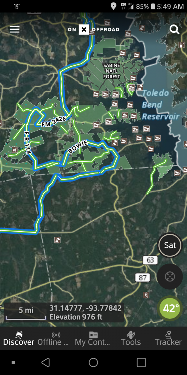
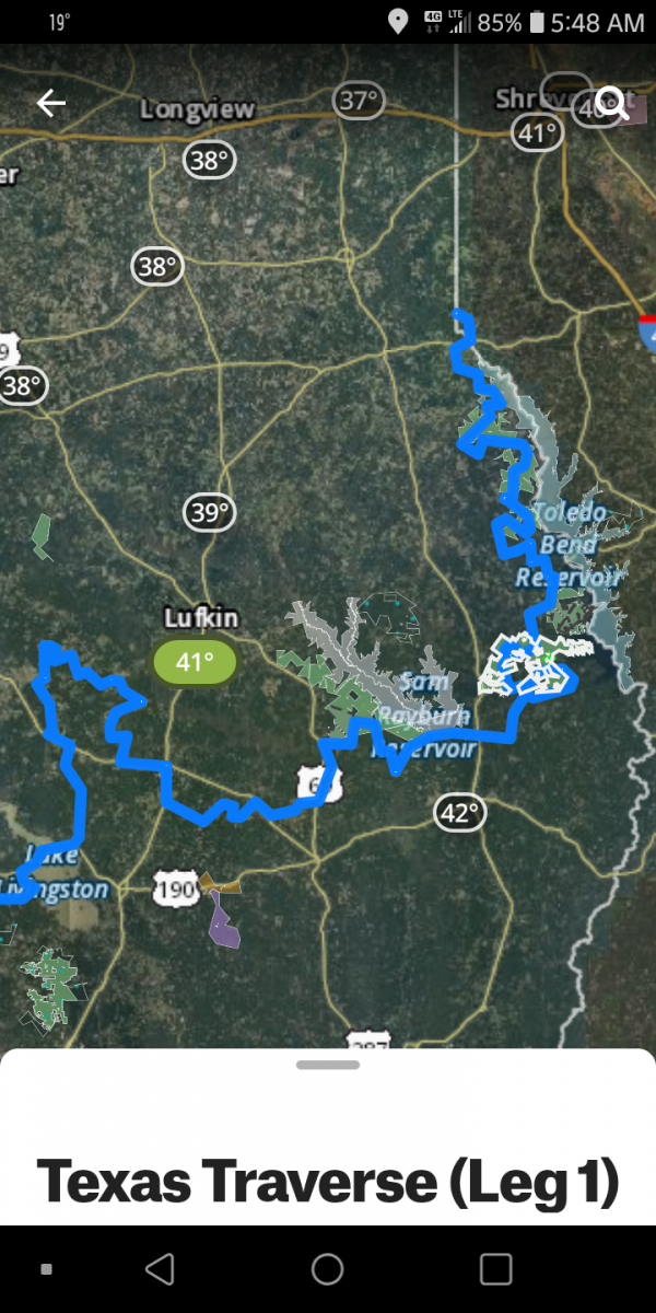
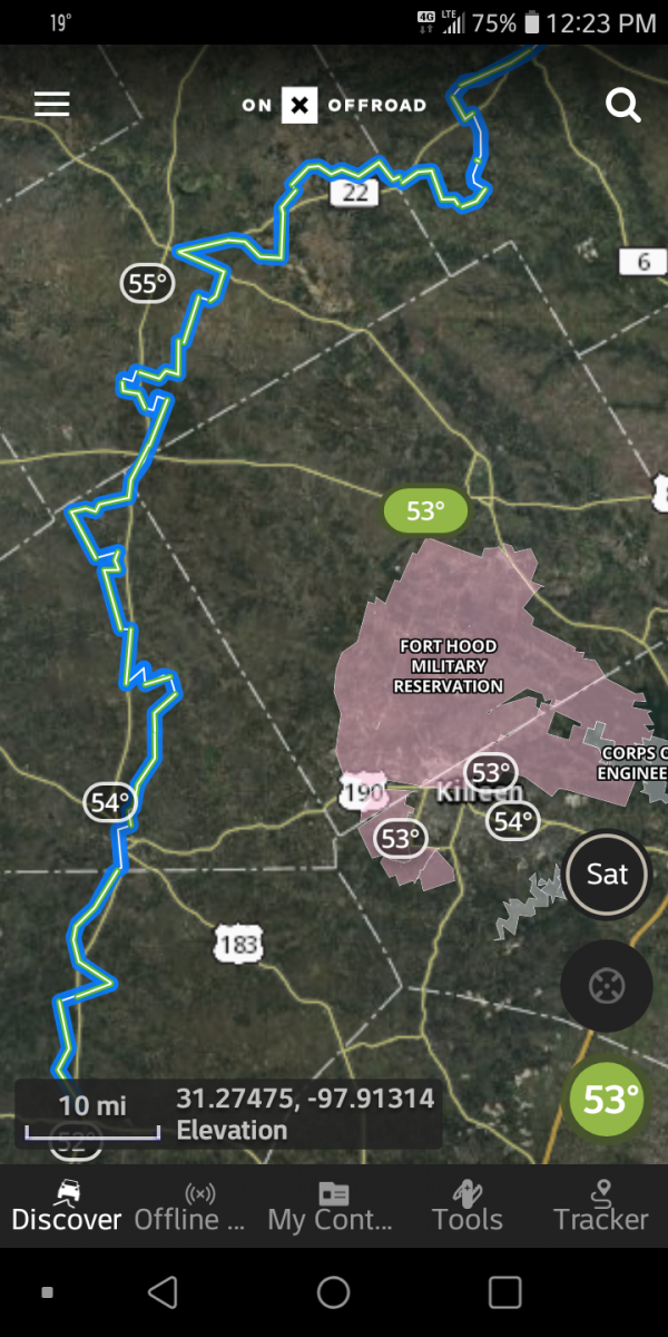
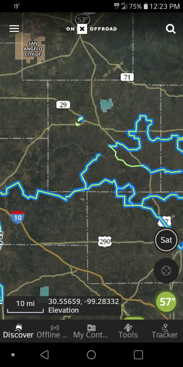
Hey Y'all New to the form , honestly spent most my time on tacoma world but got my Rebel / Yankee ass banned, lol spent the past 20+ between Sam Rayburn Lake and Toledo Bend Lake . recently moved back North . Just wanted to put out there .their are a but load of trails around that area. Expect some pin stripes . Screenshot_20201107-205752~2.png
 
Hey Y'all New to the form , honestly spent most my time on tacoma world but got my Rebel / Yankee ass banned, lol spent the past 20+ between Sam Rayburn Lake and Toledo Bend Lake . recently moved back North . Just wanted to put out there .their are a but load of trails around that area. Expect some pin stripes . View attachment 31982

I’m 15 minutes from Rayburn, where are the trails?


~ Nick
 
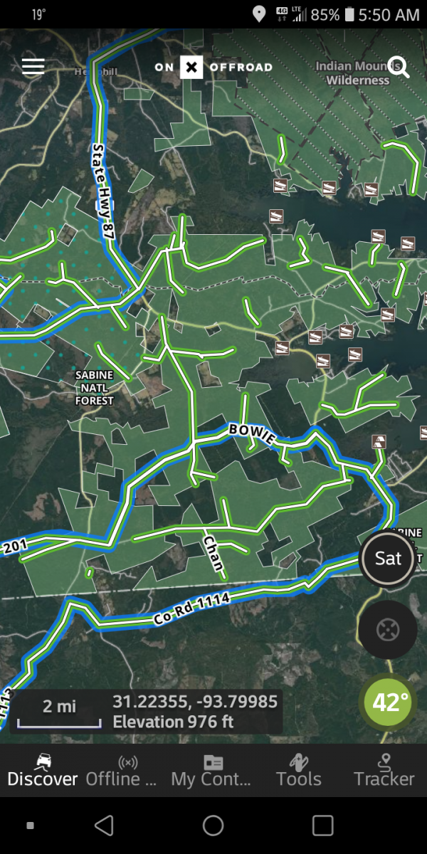
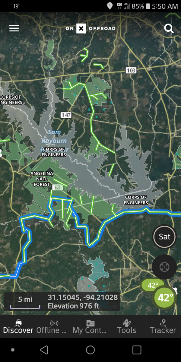
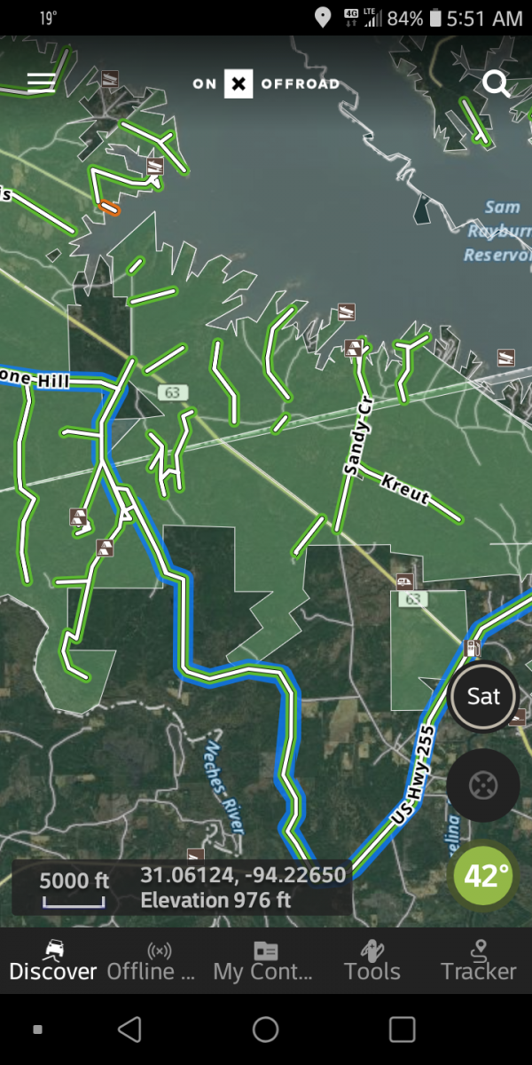
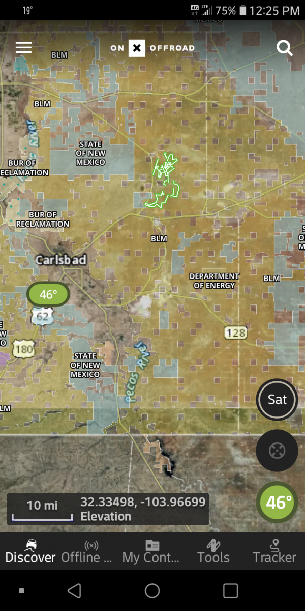
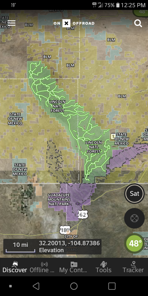
This is from ON X OFFROAD App. It's what I use. If you zoomScreenshot_20210102-055001.png Screenshot_20210102-055019.png Screenshot_20210102-055039.png Screenshot_20210102-055104.png in you get better detail and the Sat. Photos are more up to date then Mr. Google!
 

Attachments

  • Screenshot_20210102-054838.png
    Screenshot_20210102-054838.png
    1.2 MB · Views: 5
Last edited:
I do like the On X App over what I've used in the past. Shows open and closed trails and stays up to date with them. Also allows you to go from one state to the next. But still do have paper maps I carry with me for some areas. Oh yeah. On X App. Allows you to safe Off Grid Maps.
 
I do like the On X App over what I've used in the past. Shows open and closed trails and stays up to date with them. Also allows you to go from one state to the next. But still do have paper maps I carry with me for some areas. Oh yeah. On X App. Allows you to safe Off Grid Maps.

Yeah, I’ve been digging into it, looks pretty cool.

If you zoom in, it looks like some of those are County roads? Are these just unimproved dirt roads or...? I’m completely new to the “trail scene” so please forgive my ignorance and thanks for the info!


~ Nick
 
Yeah, I’ve been digging into it, looks pretty cool.

If you zoom in, it looks like some of those are County roads? Are these just unimproved dirt roads or...? I’m completely new to the “trail scene” so please forgive my ignorance and thanks for the info!


~ Nick
Some of the trails do run along or down a uninproved road or F.S. two track road . you can hit the search button on lower left too search for local trails on map screen . It will give you a list of trail names as well as difficulty and length.
 
Back
Top